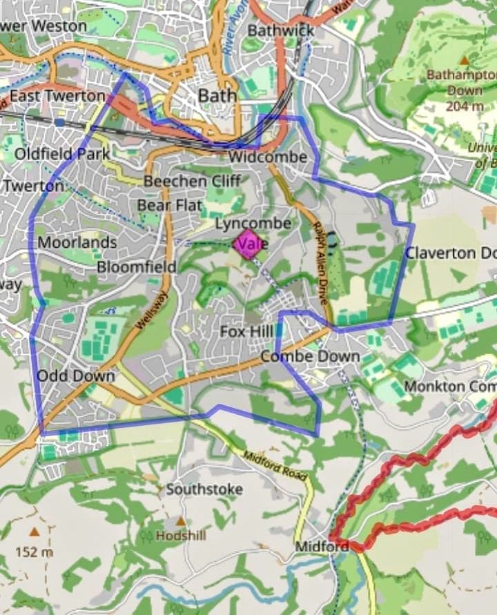
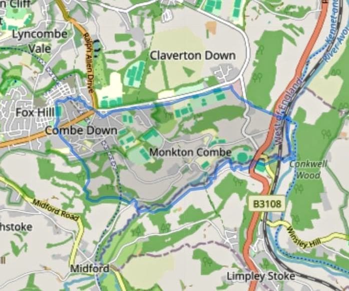
There are a number of excellent online sources for old maps, many with overlay capabilities on to modern maps. For the Combe Down area try the following:
- National Library of Scotland – enter Combe Down, choose the background map and then select your map.
- A Vision of Britain – choose your overlay or download a map.
- Bath Hacked – you will have to download and installed Google Earth and then the maps or go to History Map to see online. Bath Hacked also has maps of Bath’s listed buildings.
Offline Bath Record Office has a wide range of maps.
I have added two maps. They are very large image files that take some seconds to download on even a fast connection but, once loaded and if all works as it should you can click on the image and zoom into it.
From Thorpe’s map of 1742
From Ralph Allen’s tithe map of 1761 – 1762
Detail from Ordnance Survey First Series, Sheet 19 1817, 1 to 63360
Combe Down, Ordnance Survey Union Bath & Wells 1830
From Plan of the City and Borough of Bath and its Suburbs by J. H Cotterell 1852
Central Combe Down - 1873 - 1888
Central Combe Down in 1899 -Somerset, Revised 1899, Published 1904
Central Combe Down - Somerset, Revised 1902, Published 1904
Land Utilisation Survey of Britain 1939
Central Combe Down - ST76, Surveyed 1936 - 1956, Published 1958
Contents
- 1 From Thorpe’s map of 1742
- 2 From Ralph Allen’s tithe map of 1761 – 1762
- 3 Detail from Ordnance Survey First Series, Sheet 19 1817, 1 to 63360
- 4 Combe Down, Ordnance Survey Union Bath & Wells 1830
- 5 From Plan of the City and Borough of Bath and its Suburbs by J. H Cotterell 1852
- 6 Central Combe Down - 1873 - 1888
- 7 Central Combe Down in 1899 -Somerset, Revised 1899, Published 1904
- 8 Central Combe Down - Somerset, Revised 1902, Published 1904
- 9 Land Utilisation Survey of Britain 1939
- 10 Central Combe Down - ST76, Surveyed 1936 - 1956, Published 1958