More family trees for mortgagees

In December 2015 I added Family Trees on Prior to Now and I have now added more family trees.

The first ones were of the gentry who owned the large houses in the area – Prior Park, Combe Grove, Midford Castle and the other early movers in the development of Combe Down.

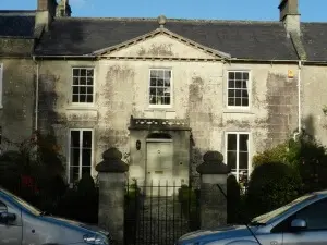
This batch are for the Owners of 109, 113, 115 & 117 Church Road, Combe Down before 1850 or, at least, those that I can identify with some level of certainty and then find some of the details of their families.
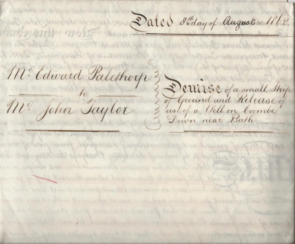
deed dated 8th day of august 1862 1024x849
Deed dated 29th October 1862 for 115 Church Road, Combe Down, Bath for 115 Church Road, Combe Down, Bath

Those concerned, where I have been able to establish something of their family tree, are:

The Owners of 109, 113, 115 & 117 Church Road, Combe Down before 1850 were the mortgagees but they were, in reality, nominal owners as long as the mortgage interest was paid.

In the 19th century there were no building societies as we know them today. Property was still a good and secure investment, even though possession of land and its economic and political importance was diminishing as trade became more important. Like today, however, buying a house outright was beyond the means of most people. Mortgages were arranged privately and a mortgage was, primarily, a way of raising money (for the mortgagor or debtor) and investing money at interest (for the mortgagee). 

Even so, one might assume that the balance of power was weighted heavily in favour of the mortgagee, especially when looking at the wording of deeds for mortgages and property. These show that mortgagors gave ownership of land to the mortgagee until he repaid a debt the owed by a certain time. If he repaid the debt the mortgagee would re-convey the land to the mortgagor. If the mortgagor failed to repay the debt by the time that was specified in the mortgage, the land became the mortgagee’s.

However from the 16th century onwards the English equity courts intervened on the side of the mortgagor. Equity gave the mortgagor a right to redeem the land by paying the amount that was owing, even after he had defaulted on the debt, so long as he did so within a “reasonable time.” In order to clear their title to the land after the mortgagor had defaulted, mortgagees brought actions in equity to foreclose the mortgagor’s “equity of redemption.” In a foreclosure, equity gave the mortgagor a right to the proceeds of the sale of the land to the extent that the sale realized more than the outstanding amount of the debt. Legislation in the 19th century extended the mortgagor’s right to redeem to a fixed period after the mortgagee had foreclosed.

So, whilst the Owners of 109, 113, 115 & 117 Church Road, Combe Down before 1850 were indeed the owners they were not landlords. If they ‘wanted out’, then they would assign their interest in a mortgage to another person, who would pay him the money he was owed. Now the mortgagor had a new person to deal with, to pay interest to every year, and eventually, to repay the capital sum. This can be seen in the deeds.

Related Images:

Now and Then

I’ve just reordered the site somewhat into Now and Then.

The, slightly punning, title of the book was Prior to Now and that became the website title too.

combe down area directory 300x132
Combe Down Area Directory

A thought that I always had, was that the site could include the history of Combe Down (Prior) and what’s going on now (Now).

I have now put all the history (but not the people and family trees) under one section Combe Down Then and what’s going on now under, believe it or not, Combe Down Now.

New section

This section includes:

One area that I’d particularly like to add to is Combe Down photos – especially any historic ones whether they be from your own or family archives or from postcards etc.

If you have any other ideas for what might be useful or relevant on the site then I’m always happy to ‘hear ideas’.

I have, now and then, wondered about a forum that includes the ability to post events etc. but I’m not sure whether it would be used and then there’s the question of moderation. Unfortunately there are always idiots who try to ruin it for the good guys, but it’s reasonably easy to do if there’s any demand.

Other than that I hope the new elements add to the site and that you enjoy them.

Related Images:

Accessible historical maps treasure trove

I’ve found an historical maps treasure trove. There’s a lovely page at:

A Vision of Britain through Time

History of Combe Down in Bath and North East Somerset.

which tells us that in 1870 – 72, John Marius Wilson’s Imperial Gazetteer of England and Wales described Combe Down like this:

“COMBE-DOWN, a chapelry in Combe-Monckton parish, Somerset; near the Great Western railway and the river Avon, 2 miles S of Bath. It has a post office‡ under Bath. Pop., 940. A hill, giving name to the place, is 550 feet high; commands an extensive prospect; yields Bath stone in large quarries; is pierced and cut with caverns and passages; and bears on its slope a pleasant little town, with villas, an inn, and the church. The living is a vicarage in the diocese of Bath and Wells. Value, not reported.* Patron, the Vicar of South Stoke.

Historical maps

There’s also a link to historical maps that you can see, often, as a seamless map overlaying the modern equivalent and/or download the original free.

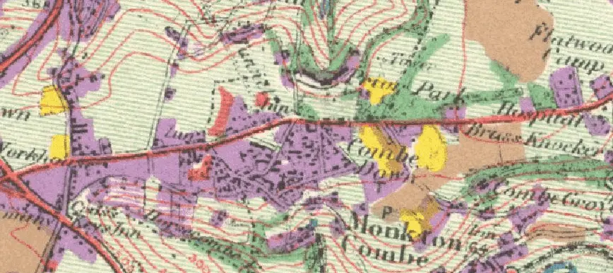
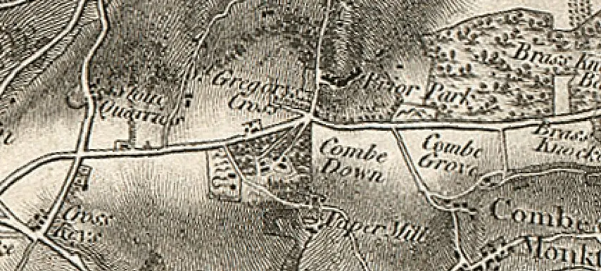
historical map of combe down
Historical map of Combe Down

There are general purpose topographic historical maps:

as well as boundary historical maps showing administrative boundaries, for counties, districts, parishes etc.:

as well as land use historical maps recording what each plot of land was being used for on the day it was surveyed, in the 1930s:

historical land utilization map
Historical land utilization map

Related Images:

Complete listed buildings master list

dial house de montalt place combe down 300x225
Dial House, De Montalt Place, Combe Down – one of the listed buildings

I have just added a page for Listed Buildings on Combe Down and in Midford and Monkton Combe divided into 15 areas which are in a rough circle as follows:

For each building or monument I have tried to give:

Related Images:

Lovely, vintage Combe Down, Monkton Combe and Prior Park photos

I have long wanted to add galleries of Combe Down, Monkton Combe and Prior Park photos but never really felt I had enough to warrant it.

Now I do, though I’d dearly love more photos to add to the galleries, so, if you have any that you’d be willing to let me publish then please do let me have a copy.

Meanwhile follow this link to take a look at the galleries of Combe Down, Monkton Combe and Prior Park photos.

Related Images: