I’ve just reordered the site somewhat into Now and Then.
The, slightly punning, title of the book was Prior to Now and that became the website title too.
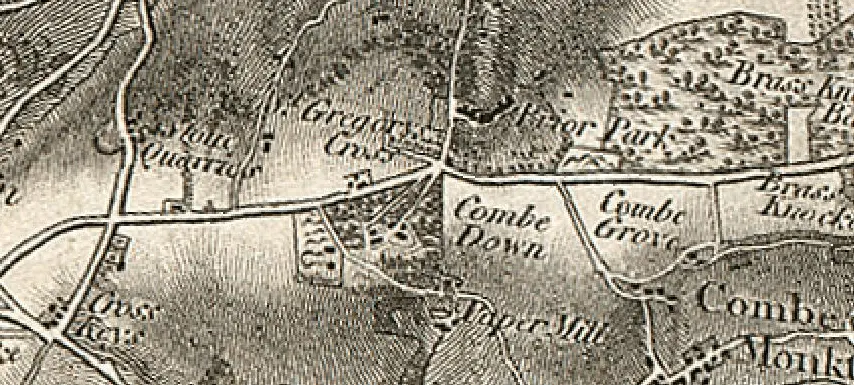
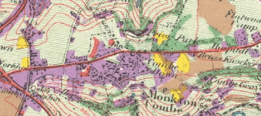
A thought that I always had, was that the site could include the history of Combe Down (Prior) and what’s going on now (Now).
I have now put all the history (but not the people and family trees) under one section Combe Down Then and what’s going on now under, believe it or not, Combe Down Now.
New section
This section includes:
- News about Combe Down and area
- Tweets about Combe Down, Monkton Combe, Prior Park and from people in the area
- Combe Down and the area from Facebook
- The Combe Down Now Area Directory providing as much detailed information on organizations located in and around Combe Down as I have been able to gather easily (This has been deleted. There was little traffic or interest.) NOTE BY RICHARD HILL ON 1 FEBRUARY 2024.
- Listed buildings on Combe Down and in Midford and Monkton Combe “zoned” by 15 areas
- Planning and listing and planning applications
- Some historic photos of the area
- Wikipedia entries for the local area
- Wikipedia entries for schools on Combe Down
One area that I’d particularly like to add to is Combe Down photos – especially any historic ones whether they be from your own or family archives or from postcards etc.
If you have any other ideas for what might be useful or relevant on the site then I’m always happy to ‘hear ideas’.
I have, now and then, wondered about a forum that includes the ability to post events etc. but I’m not sure whether it would be used and then there’s the question of moderation. Unfortunately there are always idiots who try to ruin it for the good guys, but it’s reasonably easy to do if there’s any demand.
Other than that I hope the new elements add to the site and that you enjoy them.