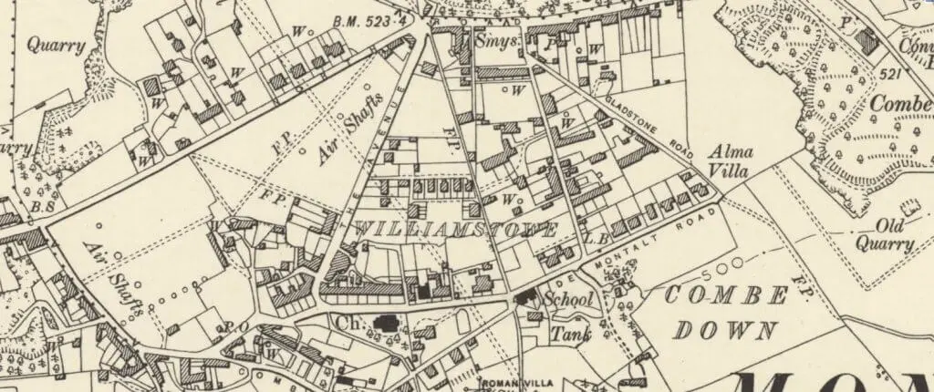
I have spent some time adding to the galleries for Prior to Now and there are over 1,000 images of people, buildings and activities on Combe Down on the site.
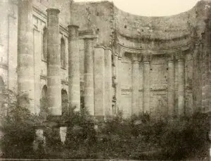
The earliest photographic images are of Prior Park in about 1855 by the Rev Francis Lockey (1796 – 1869).
Rev Lockey and his family lived in Swainswick near Bath, in a house known then as Swainswick Cottage and now known as the White House.
Amazingly Lockey’s photographic studio (now a conservatory) survives virtually intact at his former home. The studio has been confirmed as being the earliest known surviving photographic studio by the Science Museum.
Rev Lockey began experimenting in 1849, first using paper negatives and later glass plates developed using the calotype photographic process, which had been patented by William Henry Fox Talbot (1800 – 1877) in 1841.
The galleries that have been added are:
- Images, photos and postcards of Combe Down
- Images, photos and postcards of Prior Park
- Images, photos and postcards of Monkton Combe
- Images of people who have lived on Combe Down and in Monkton Combe
- Photos of couples and groups of people who have lived on Combe Down and in Monkton Combe
- Images of dances, entertainment, events and outings on Combe Down and in Monkton Combe
- Images of fairs, festivities and fêtes on Combe Down and in Monkton Combe
- Images of Monkton Combe school
- Images of Prior Park
- Images of sports and teams on Combe Down and in Monkton Combe
- Photos of people who have lived on Combe Down and in Monkton Combe and their marriage
- Memorials to those from Combe Down and Monkton Combe who died fighting for their country
- Photos of those who went to war from Combe Down and Monkton Combe
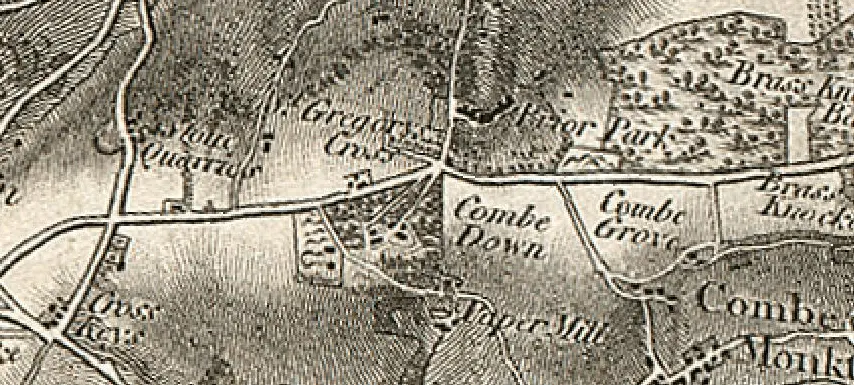
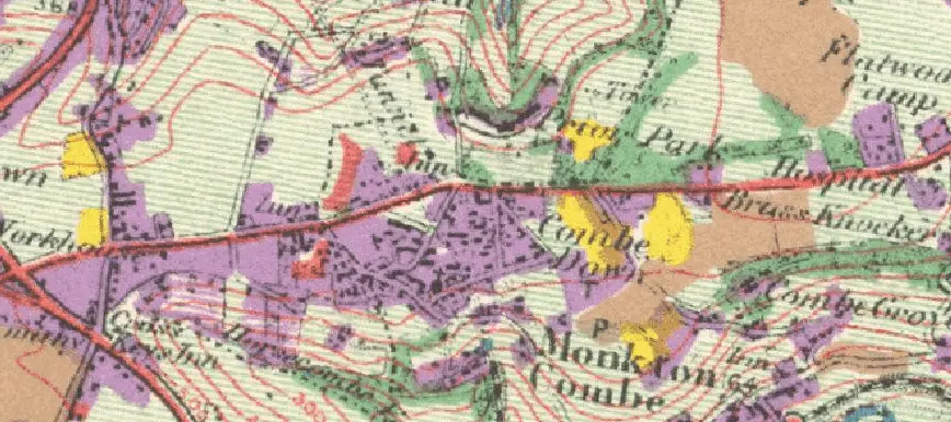
As well as these galleries I have also added two maps. They are very large image files that take some seconds to download on even a fast connection but, once loaded and if all works as it should you can click on the image and zoom into it.